Lyrea
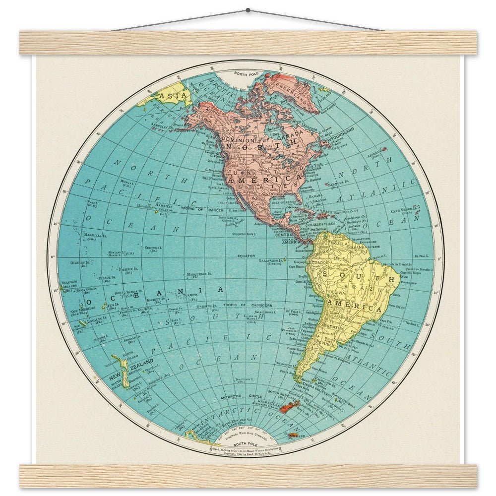
Western Hemisphere - Poster with Hanger
Western Hemisphere - Poster with Hanger
- Free Shipping on orders $30 and up
- Shipping time 5-7 days
- FSC Certified Paper and Frame
- Your order donates to environmental innovations
Couldn't load pickup availability
Art Description
Art Description
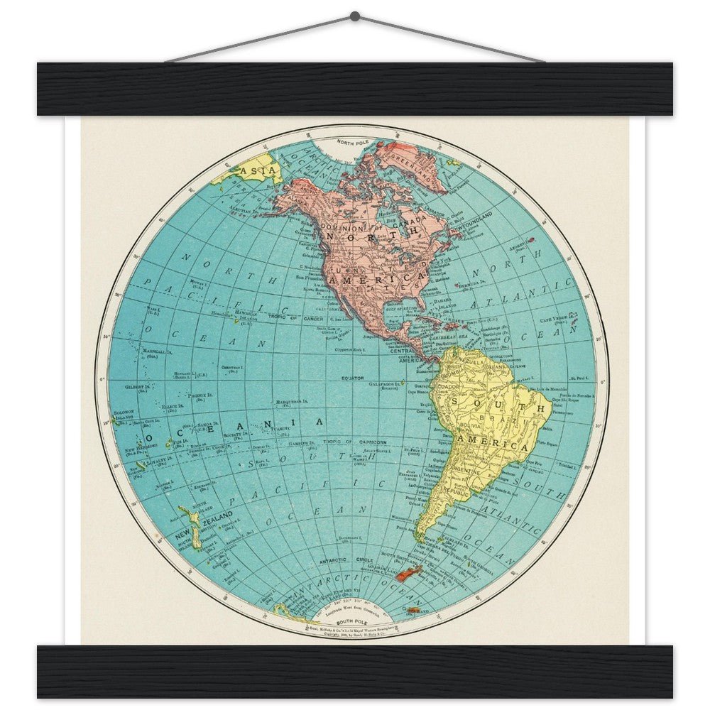
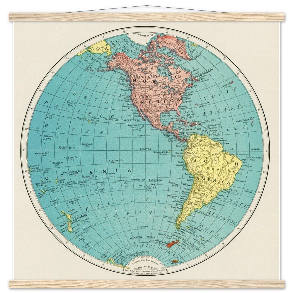
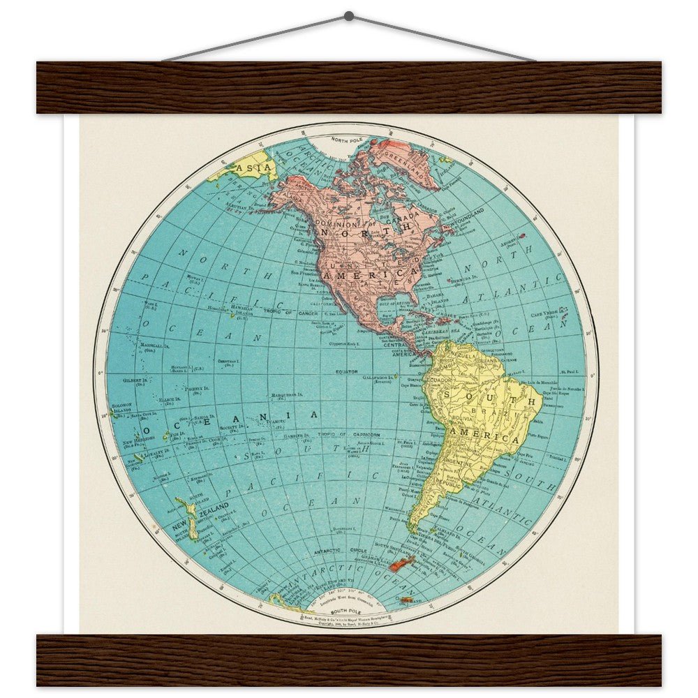
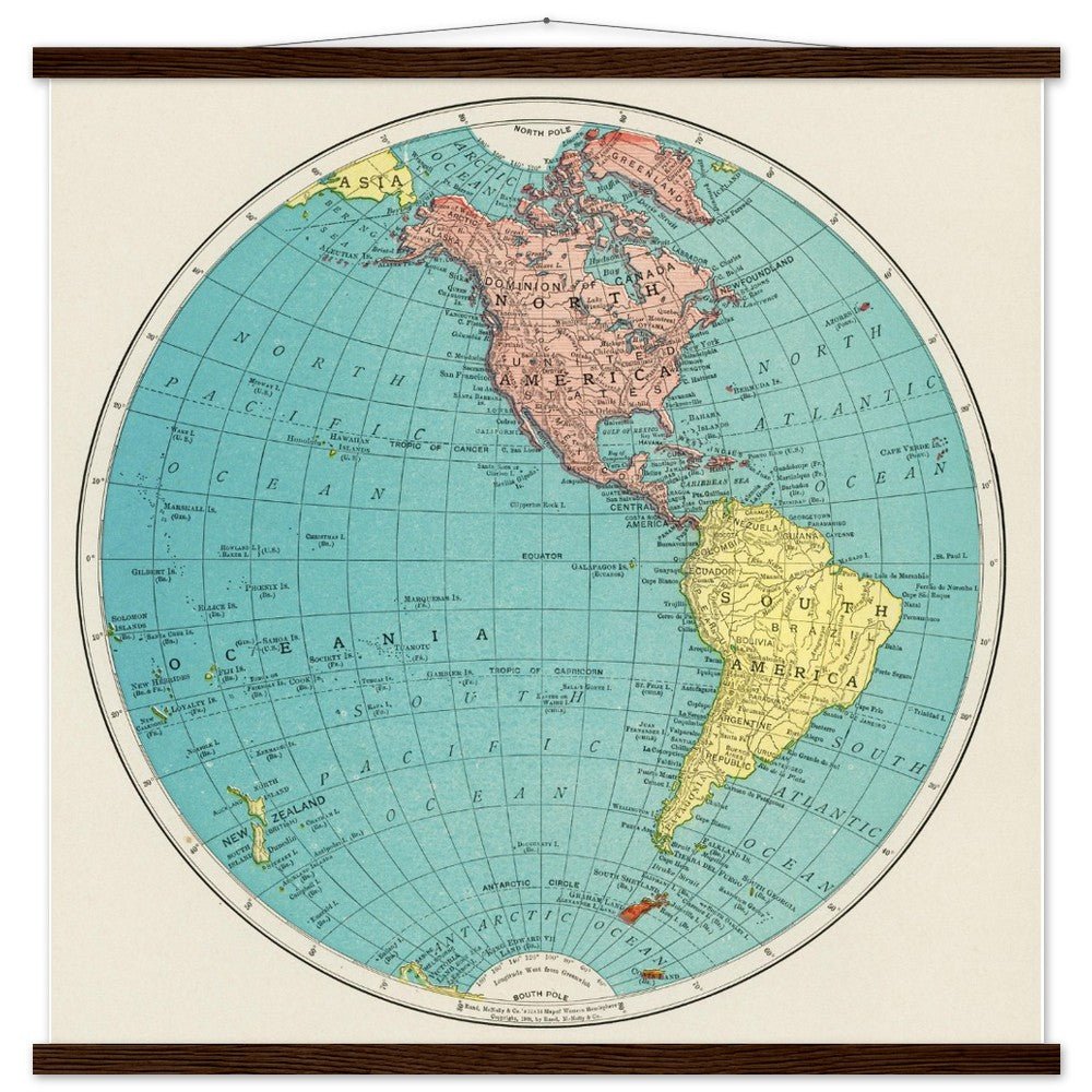
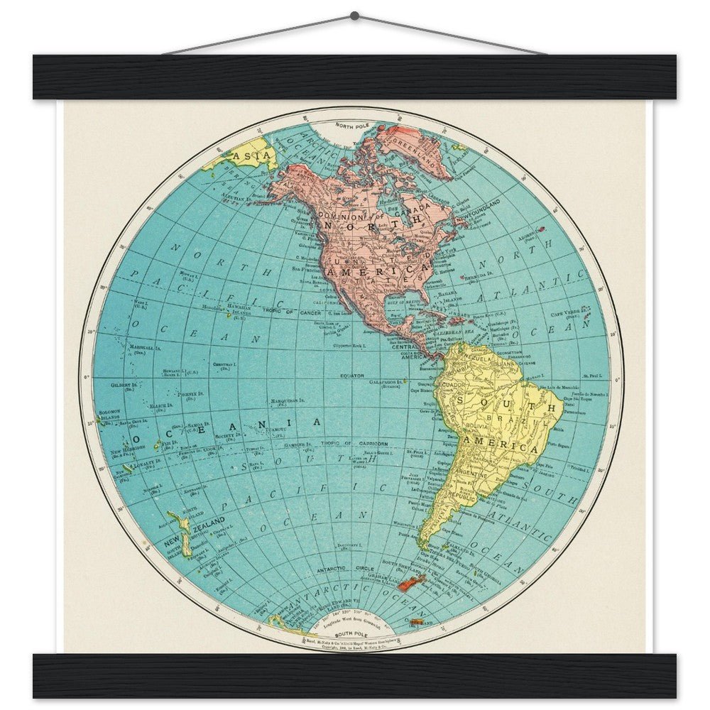
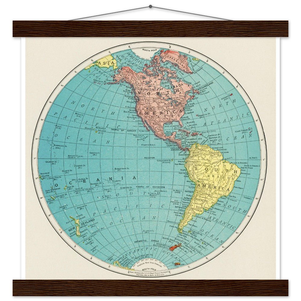
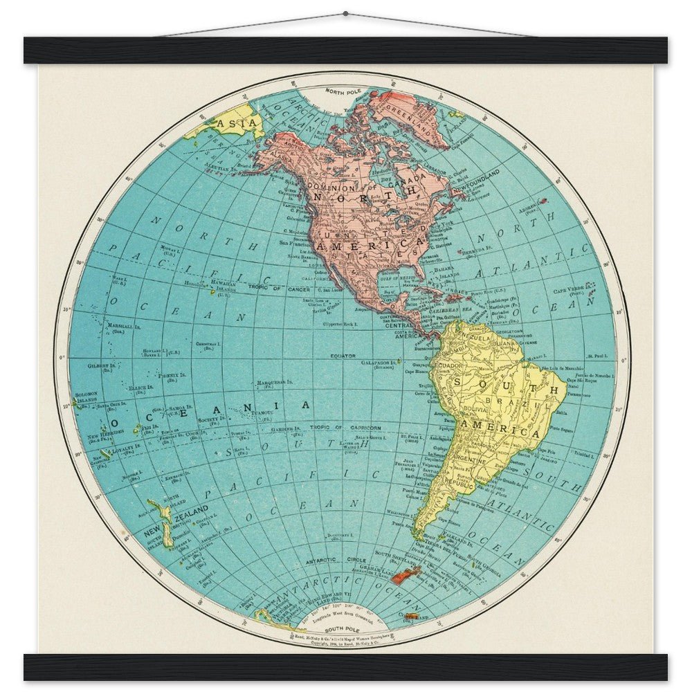
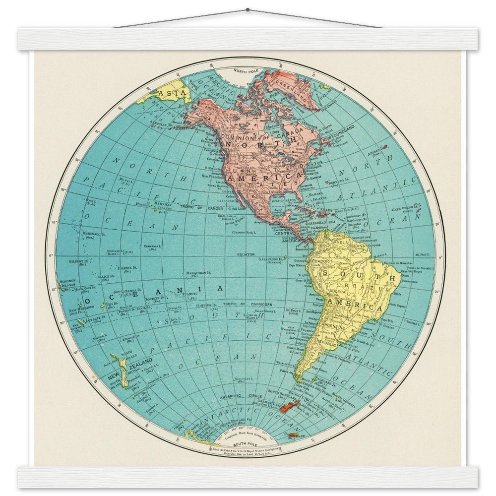
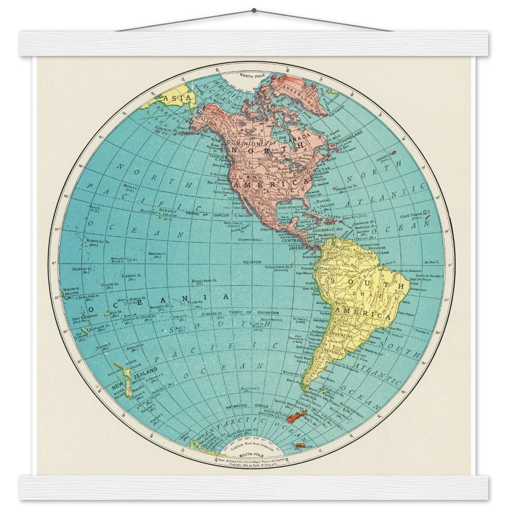
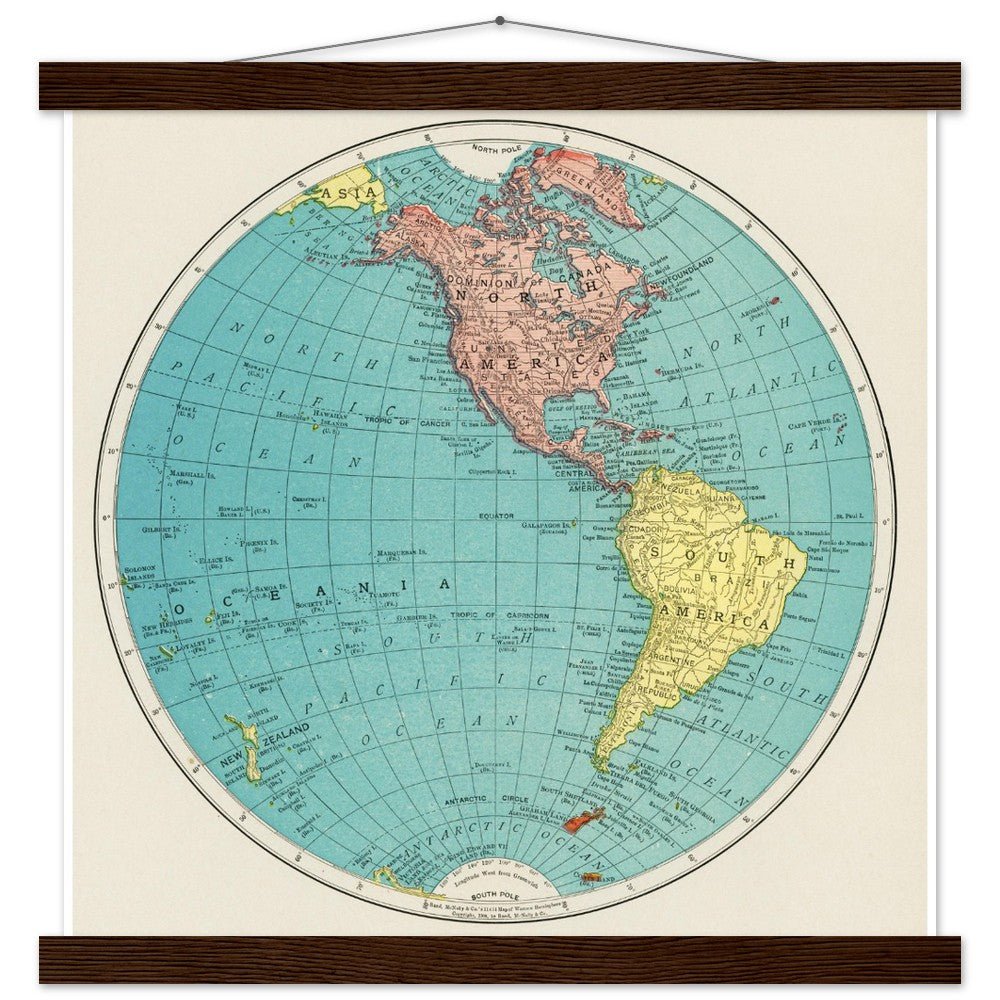
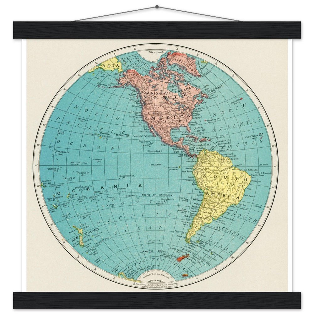
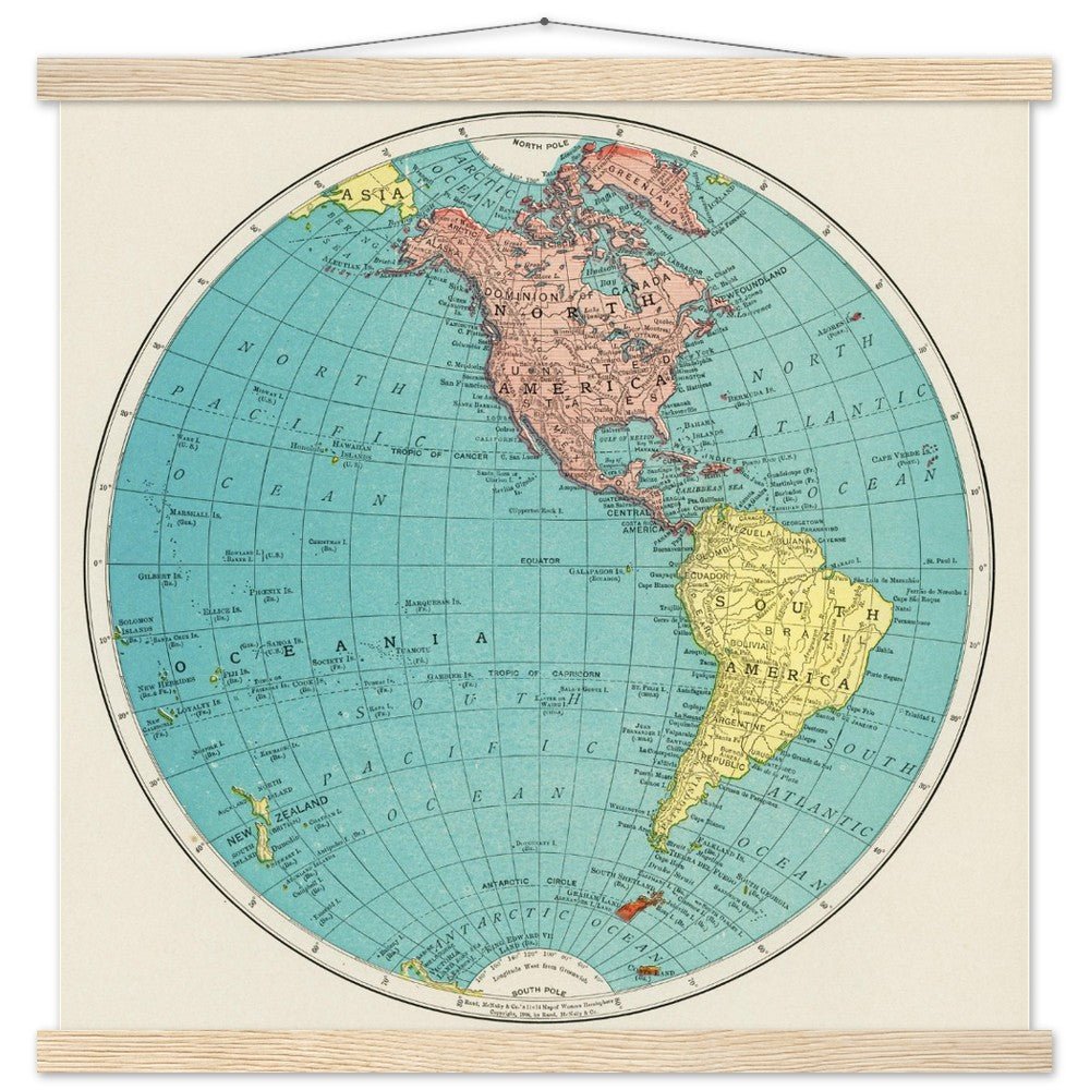
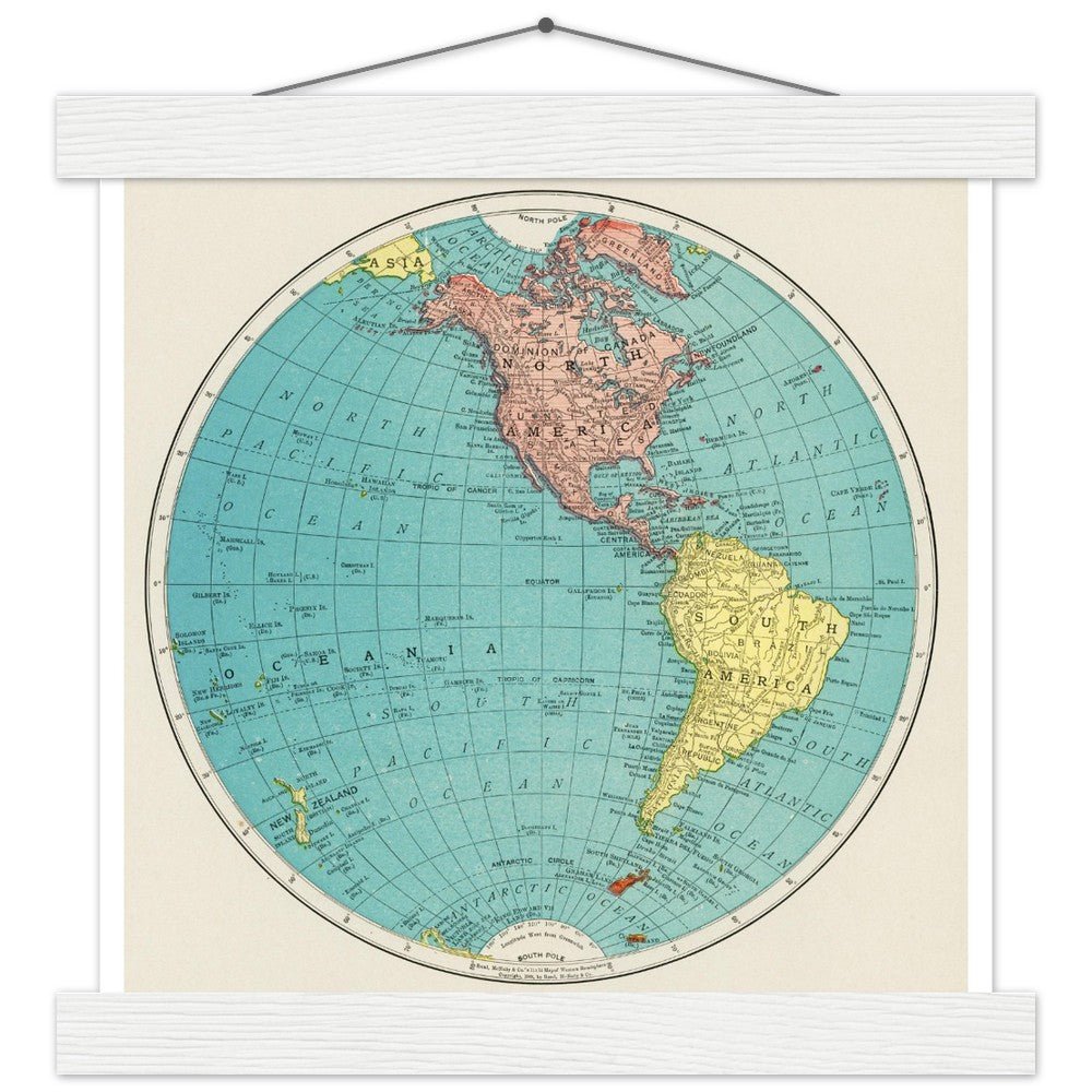
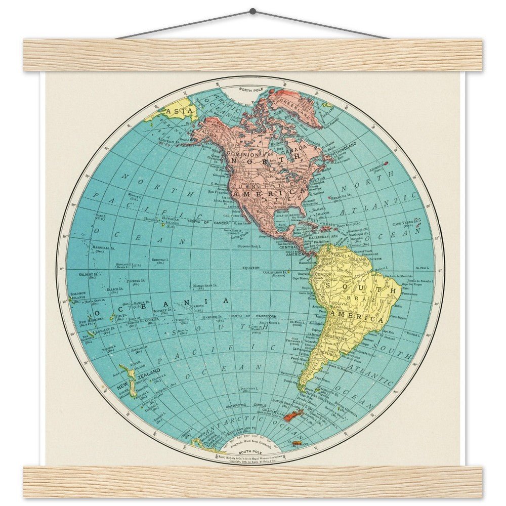
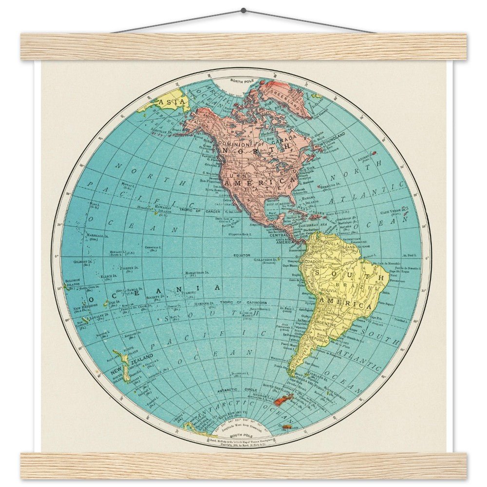
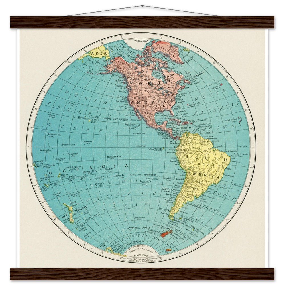
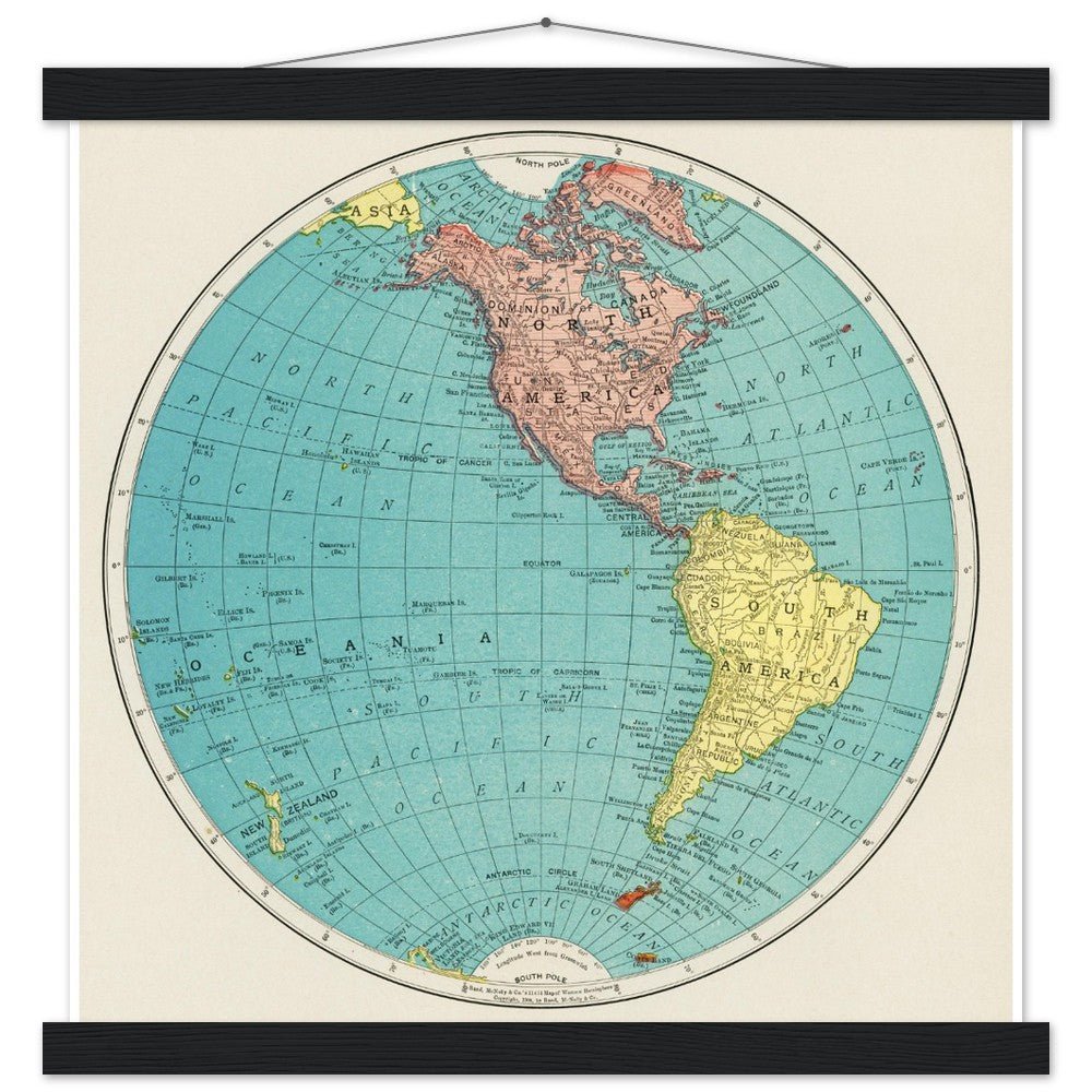
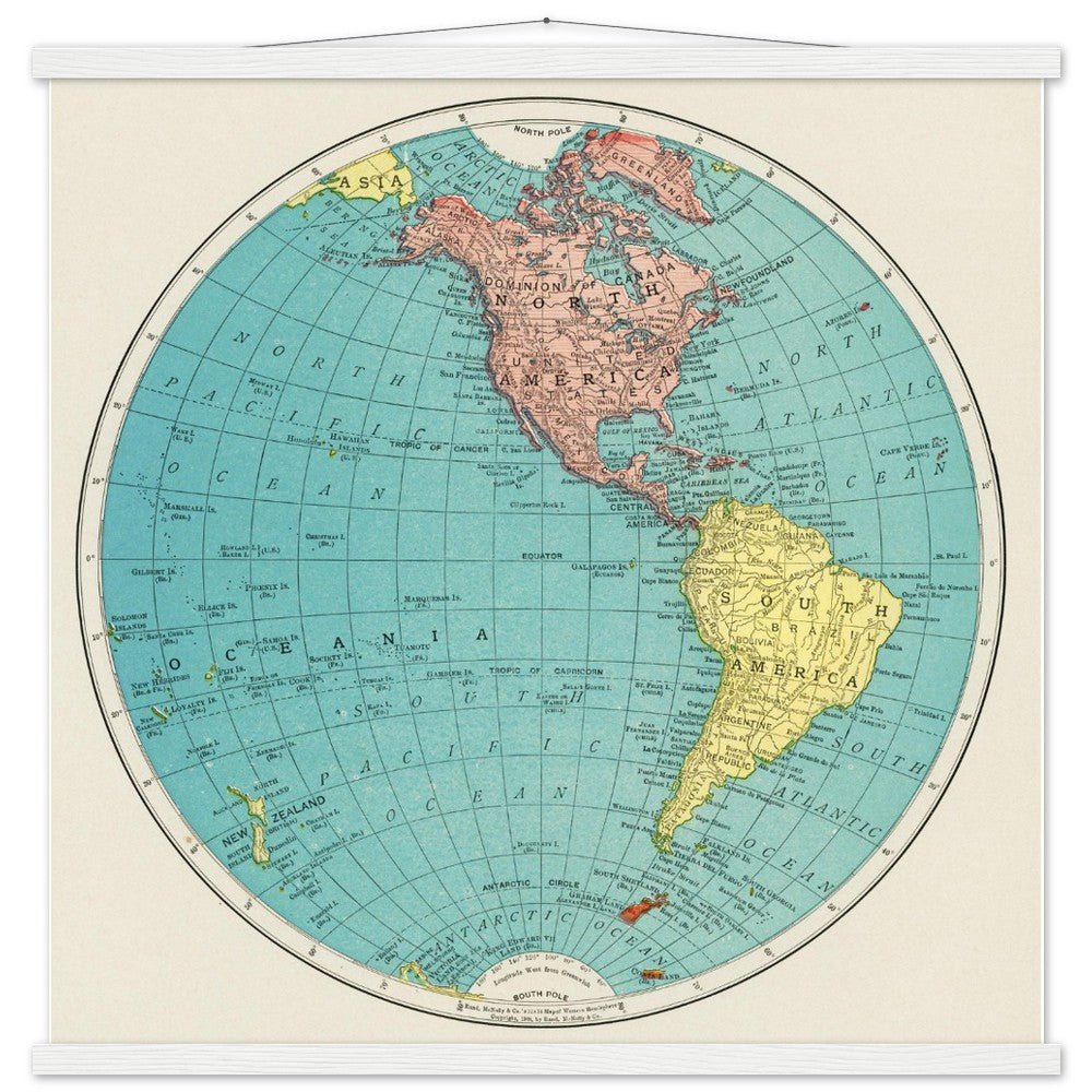
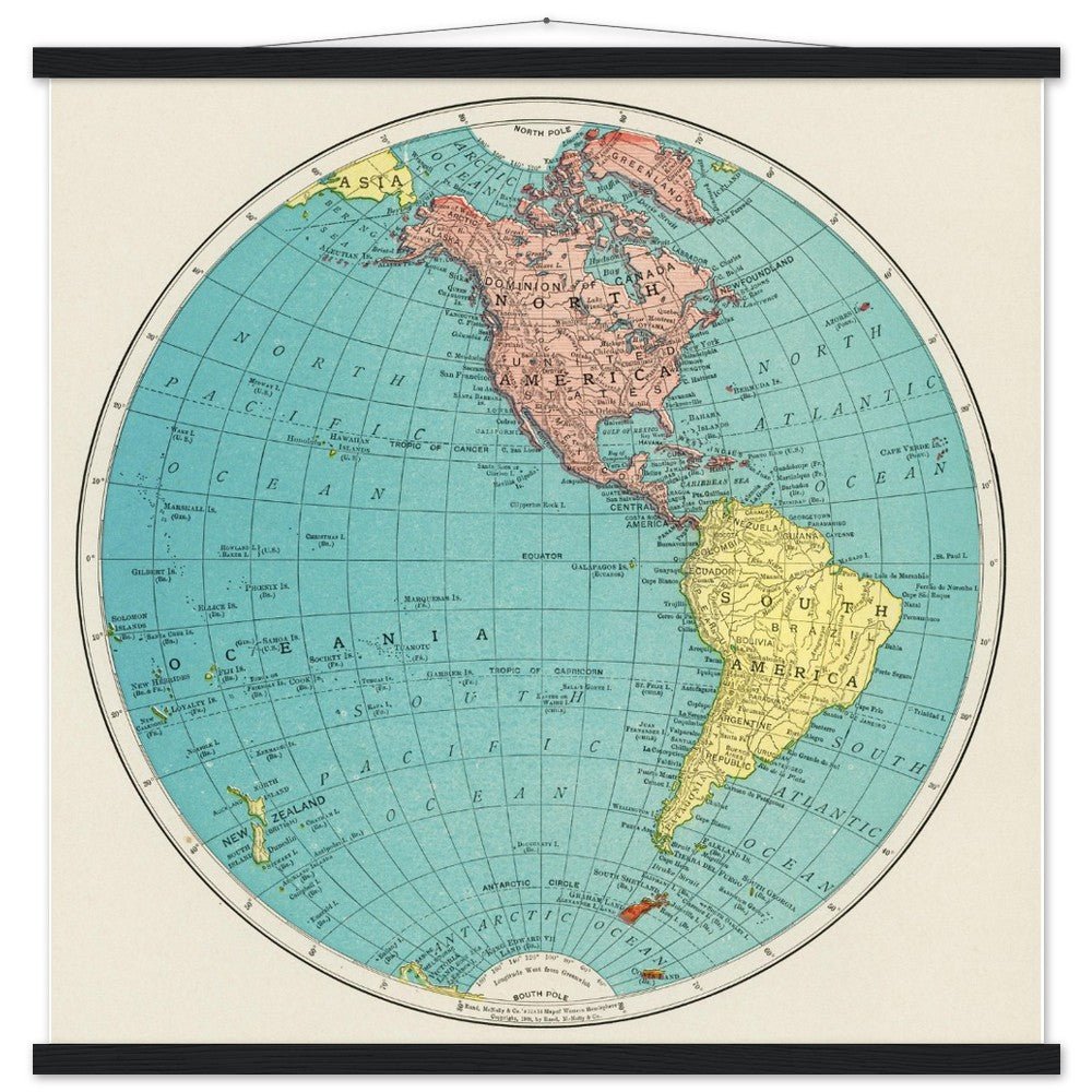
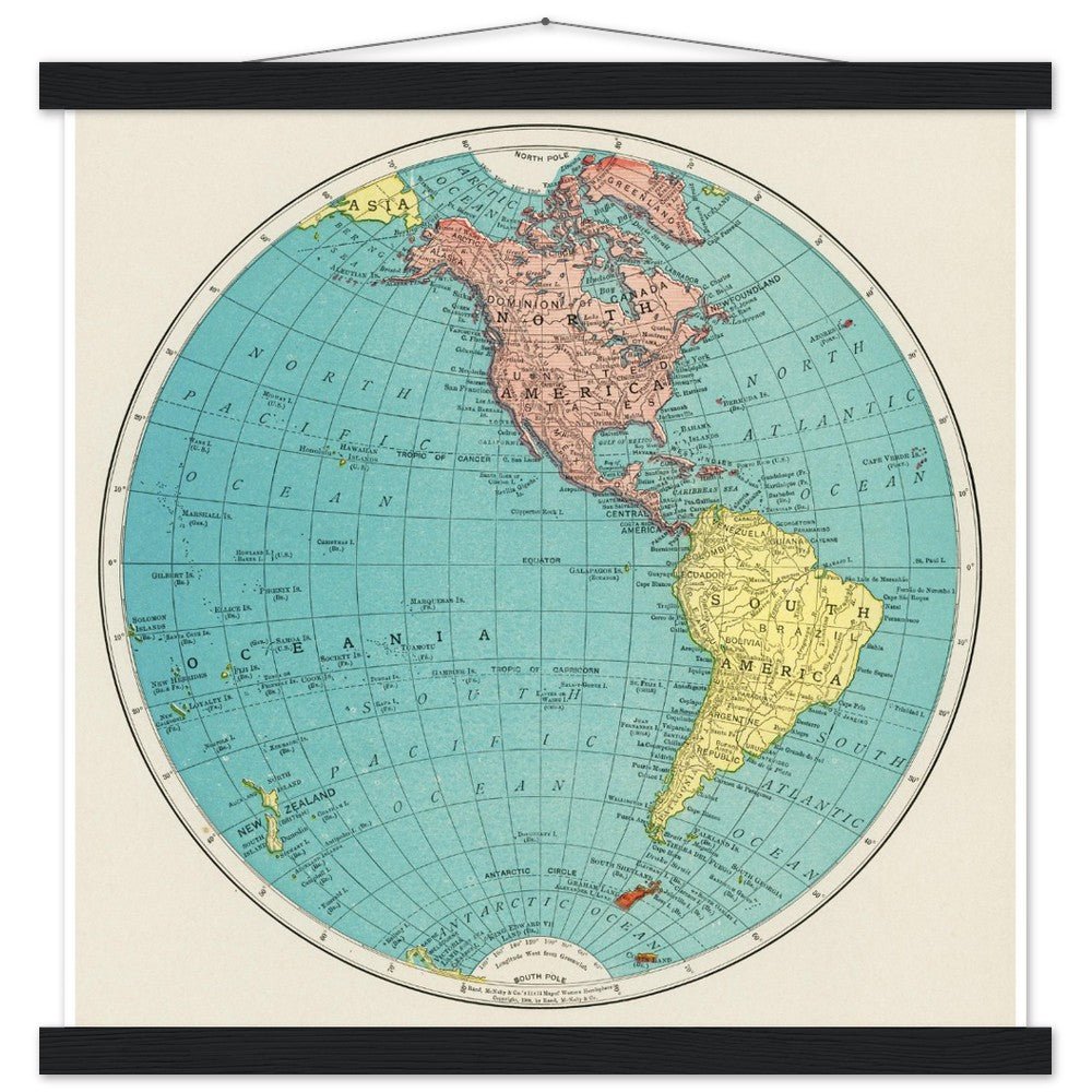
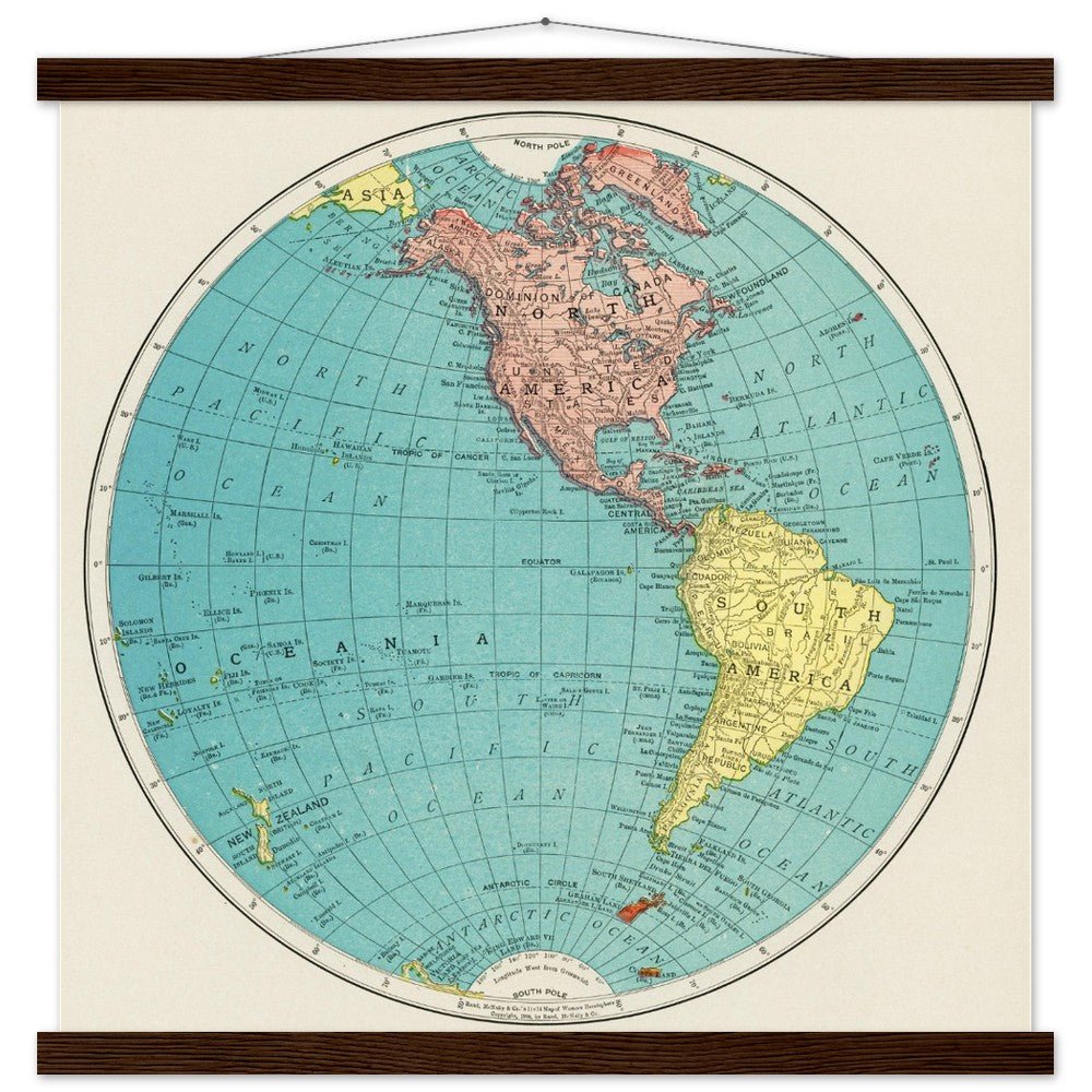
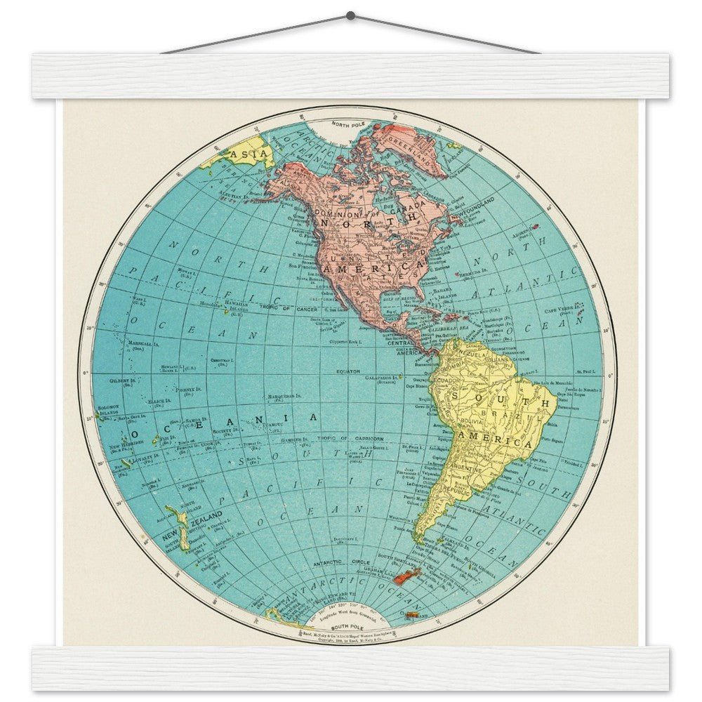
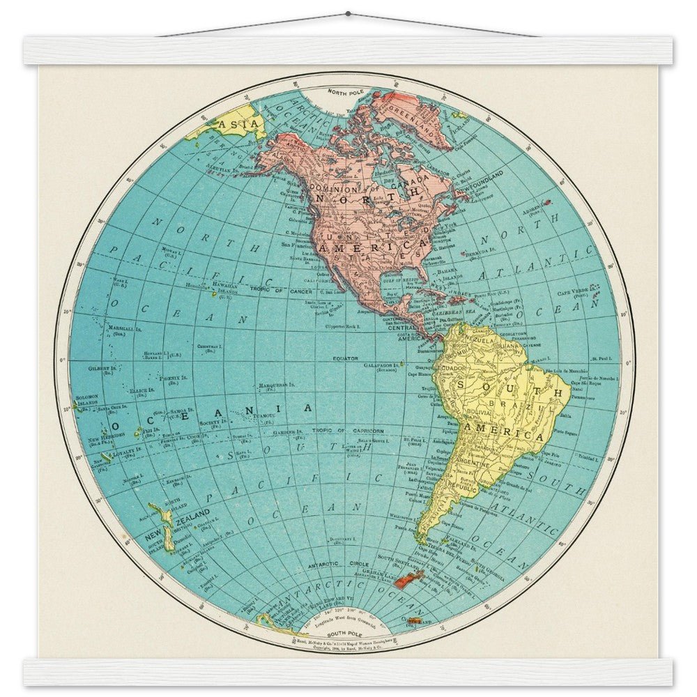
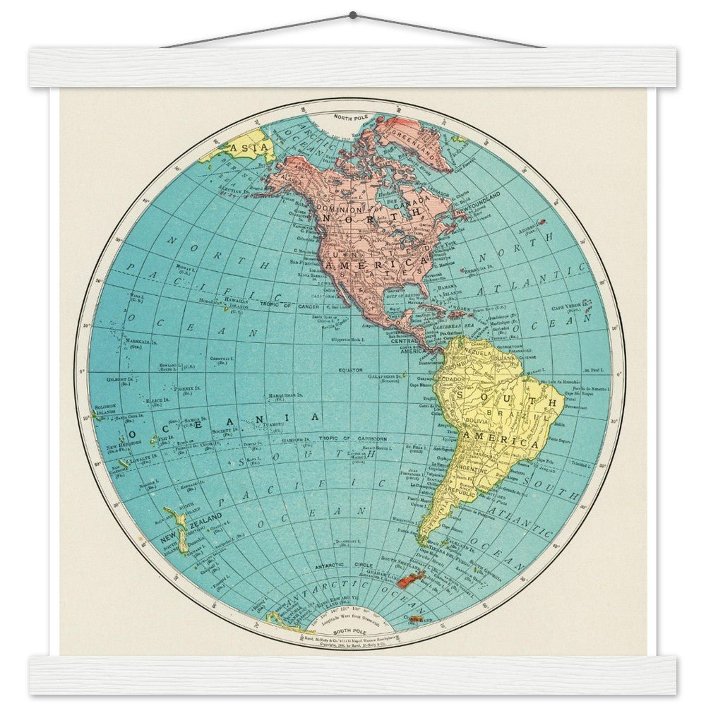
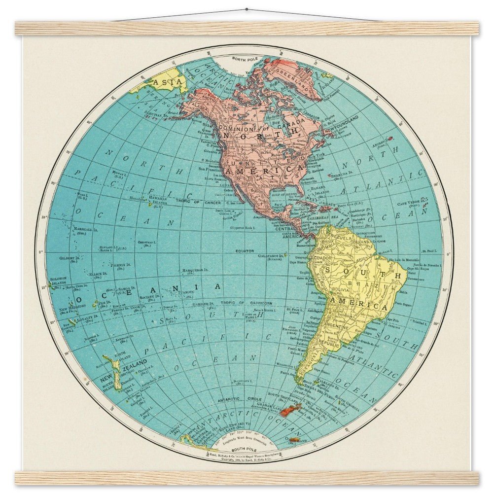
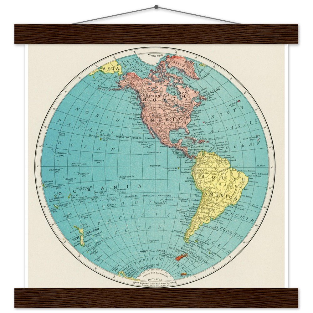
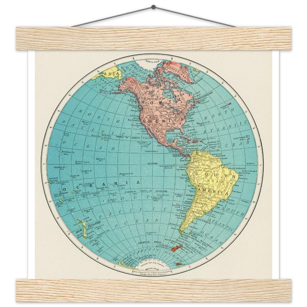
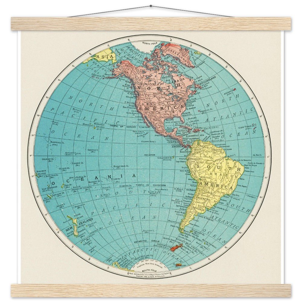
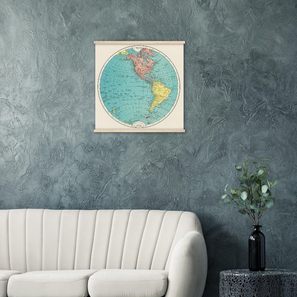
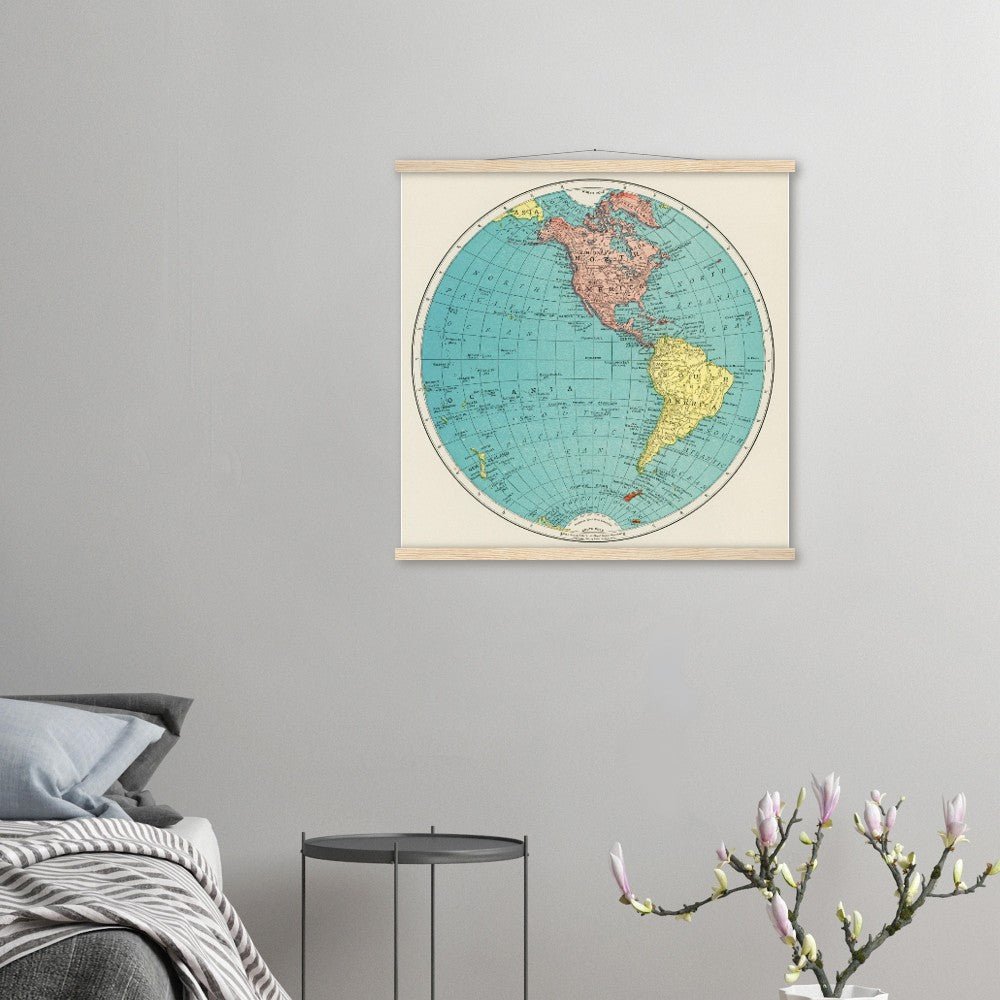
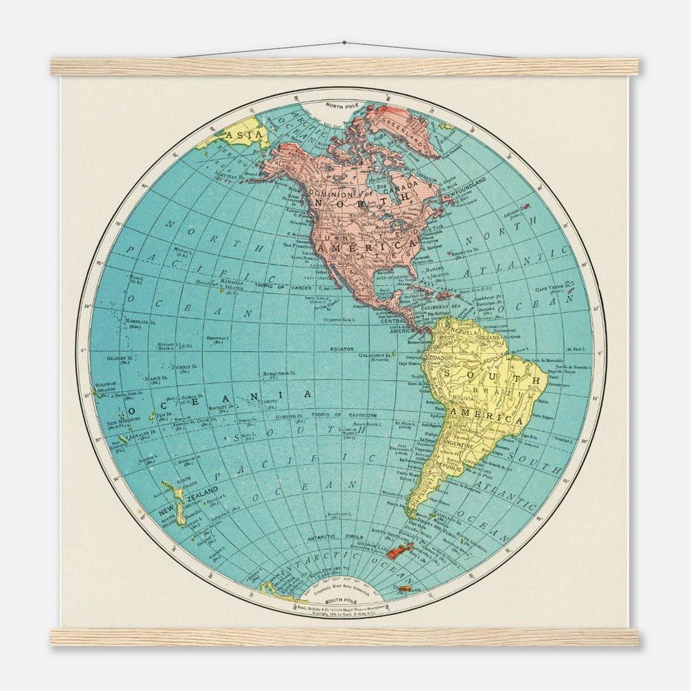
The "Western Hemisphere" map from the 1908 edition of the World Atlas by Rand, McNally and Co. is a detailed and carefully crafted representation of the Americas and surrounding areas, including significant portions of the Pacific and Atlantic Oceans. This map features a rich array of geographical details.
The technique used in this map would most likely be lithography, which was a popular method for printing detailed and colorful maps during this period. Lithography allows for precise and clear reproduction of lines and text, which is essential for the accuracy and readability of a map. The colors used in the map are likely to be vibrant yet distinct, helping to differentiate various geographical and political entities clearly.
In 1908, the world was rapidly modernizing, with countries expanding their infrastructures and the global economy becoming more interconnected. A detailed and up-to-date atlas such as that produced by Rand, McNally and Co. would be an essential tool for education and commerce. Any depiction of the Western Hemisphere would hold particular interest for audiences in the Americas, providing a comprehensive view that could serve a variety of uses from educational to navigational purposes.
FREE SHIPPING on this product. Our minimalist wooden hangers are made with four magnetic wooden dowels, two that clamp to the top of your print and two that clamp to the bottom to give a vintage look and feel. Experience art that feels silky to the touch with our high-quality, lighter-weight, classic semi-glossy paper. While the poster and hangers are packed separately in one box, final assembly is required by the end recipient. Don’t worry; it's a snap to put them together - no expertise is required. Features: The hangers are made from pine and come in four color variants: black, white, natural wood, and dark brown wood. The cotton rope attached at the top matches the hanger color. Designed magnetically, the hangers do not damage the poster and also makes it easy to switch prints, making it a versatile and durable option. It has a paper weight of 170 gsm / 65 lb, making it perfect for creating long-lasting prints that are preserved in pristine condition for years to come. We use FSC-certified paper and hangers or equivalent certifications, depending on regional availability. It’s better for the people and the planet. Each poster and hanger is shipped in robust packaging, ensuring it arrives in pristine condition. For indoor use.
Share
