Lyrea
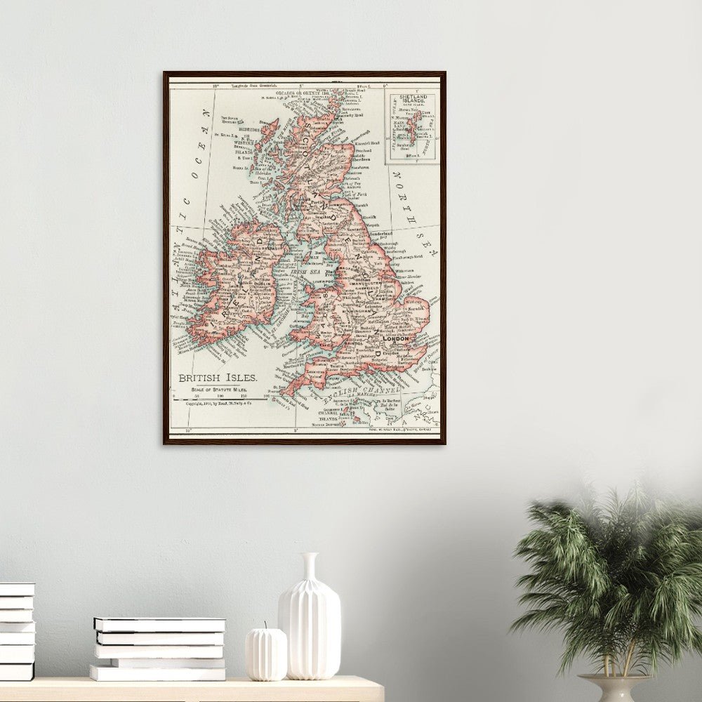
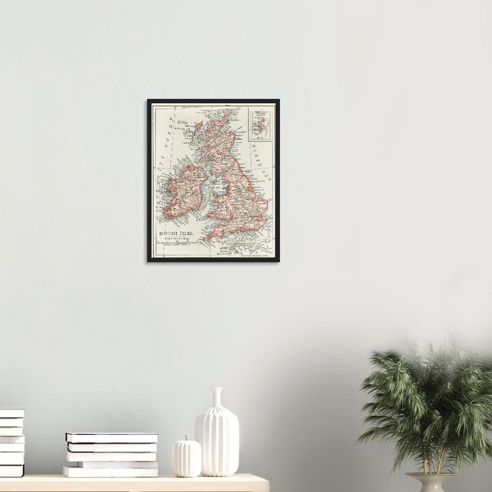
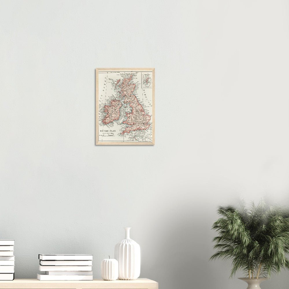
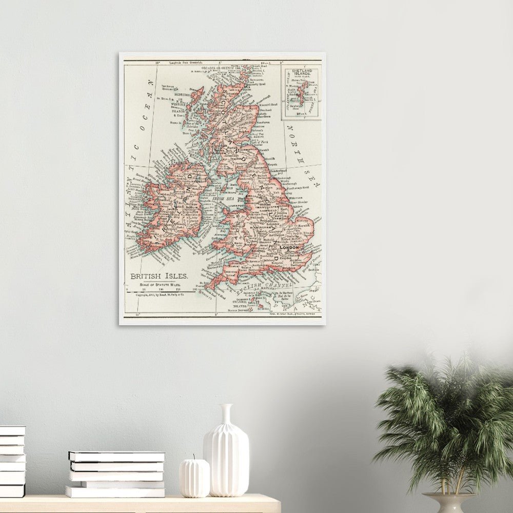
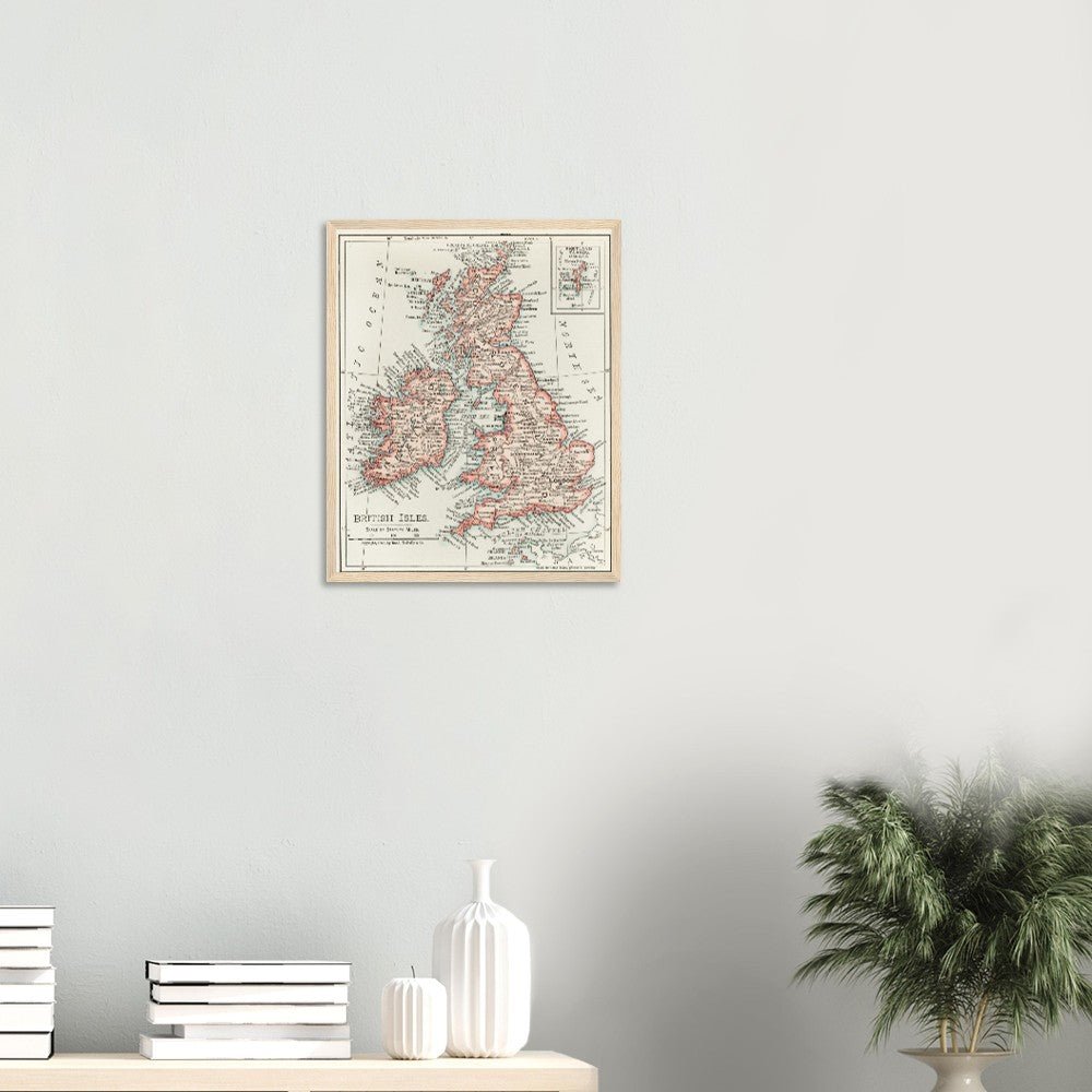
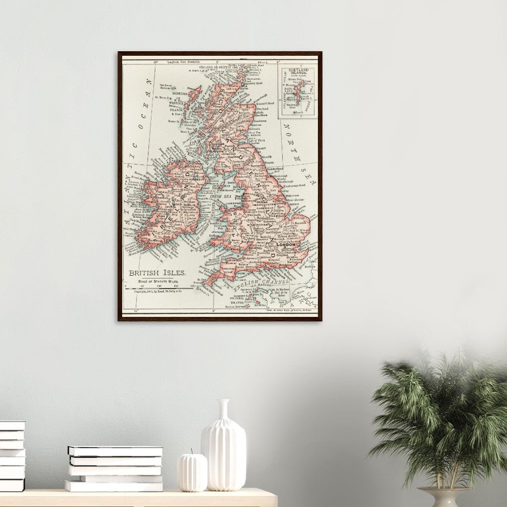
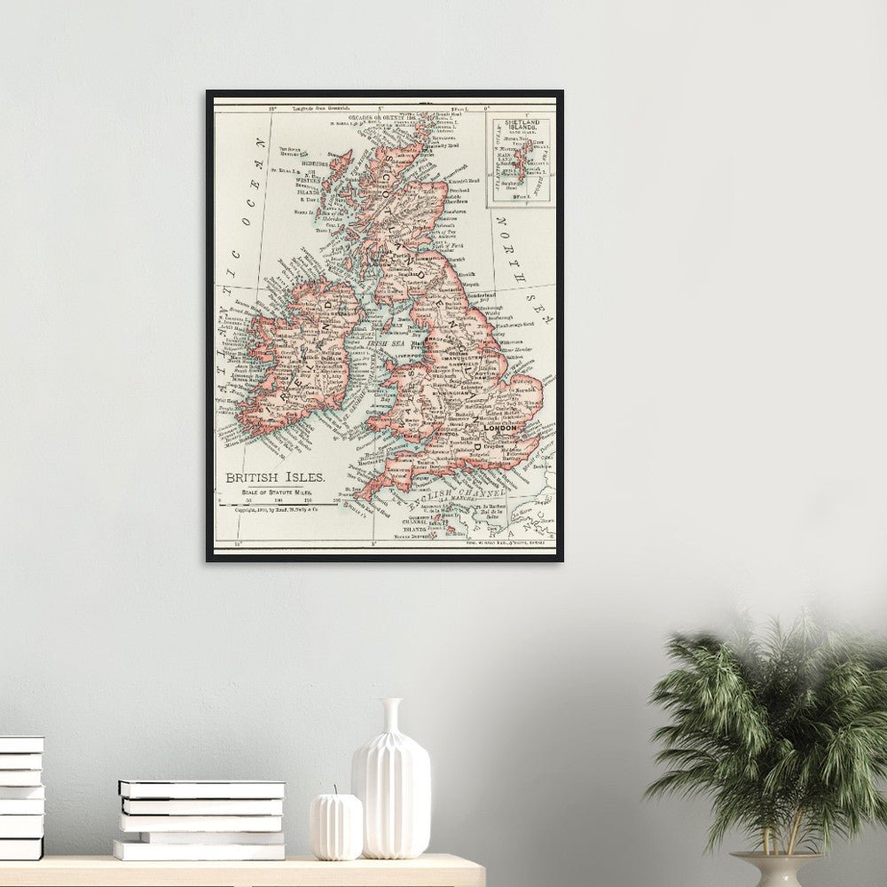
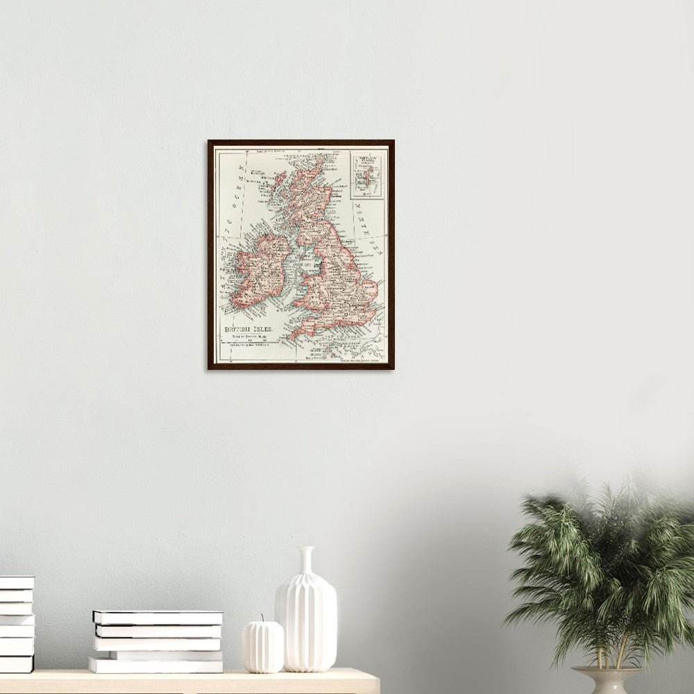
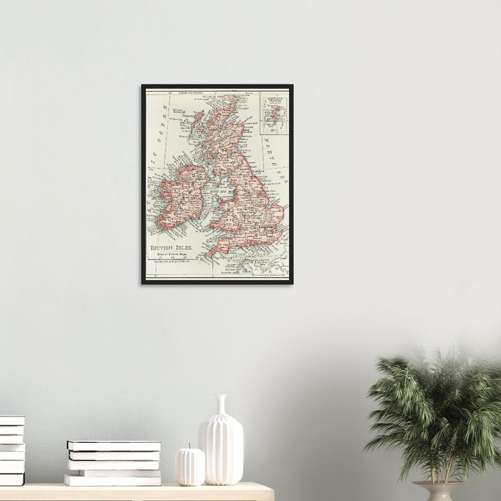
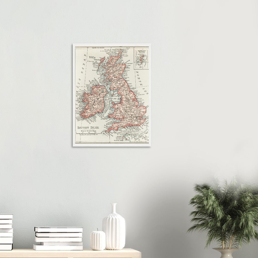
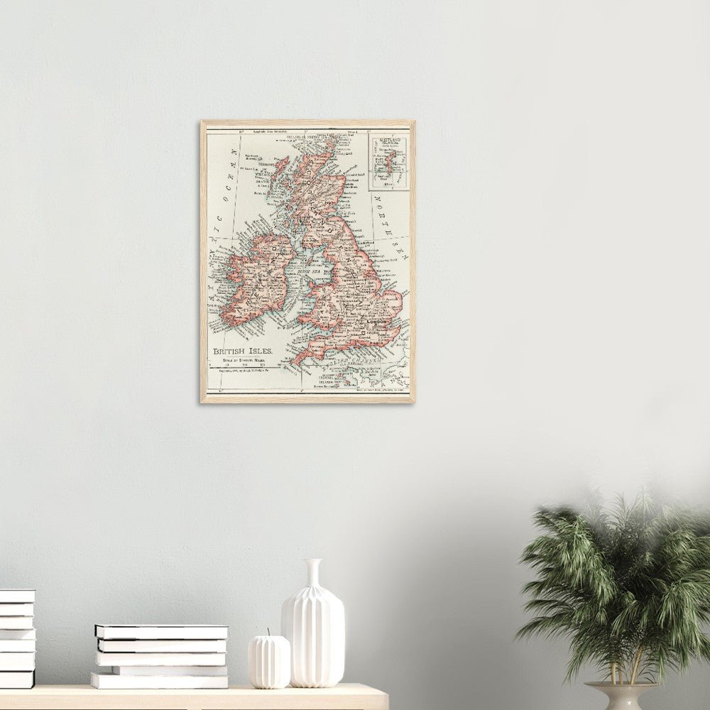
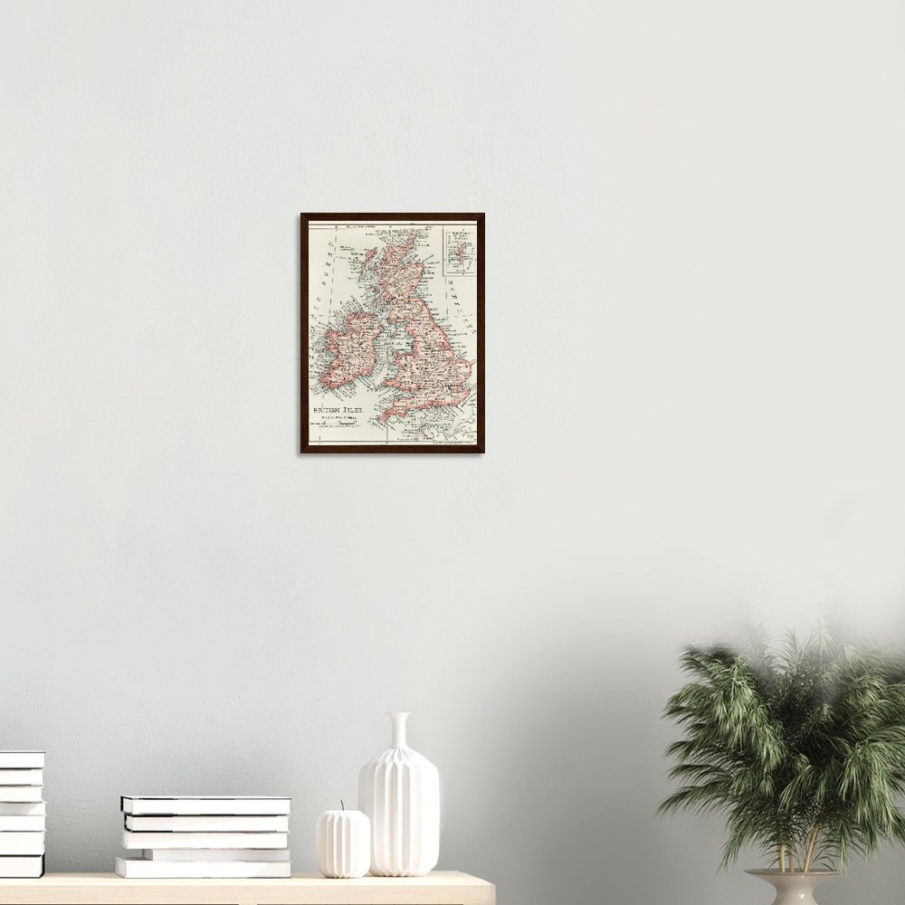
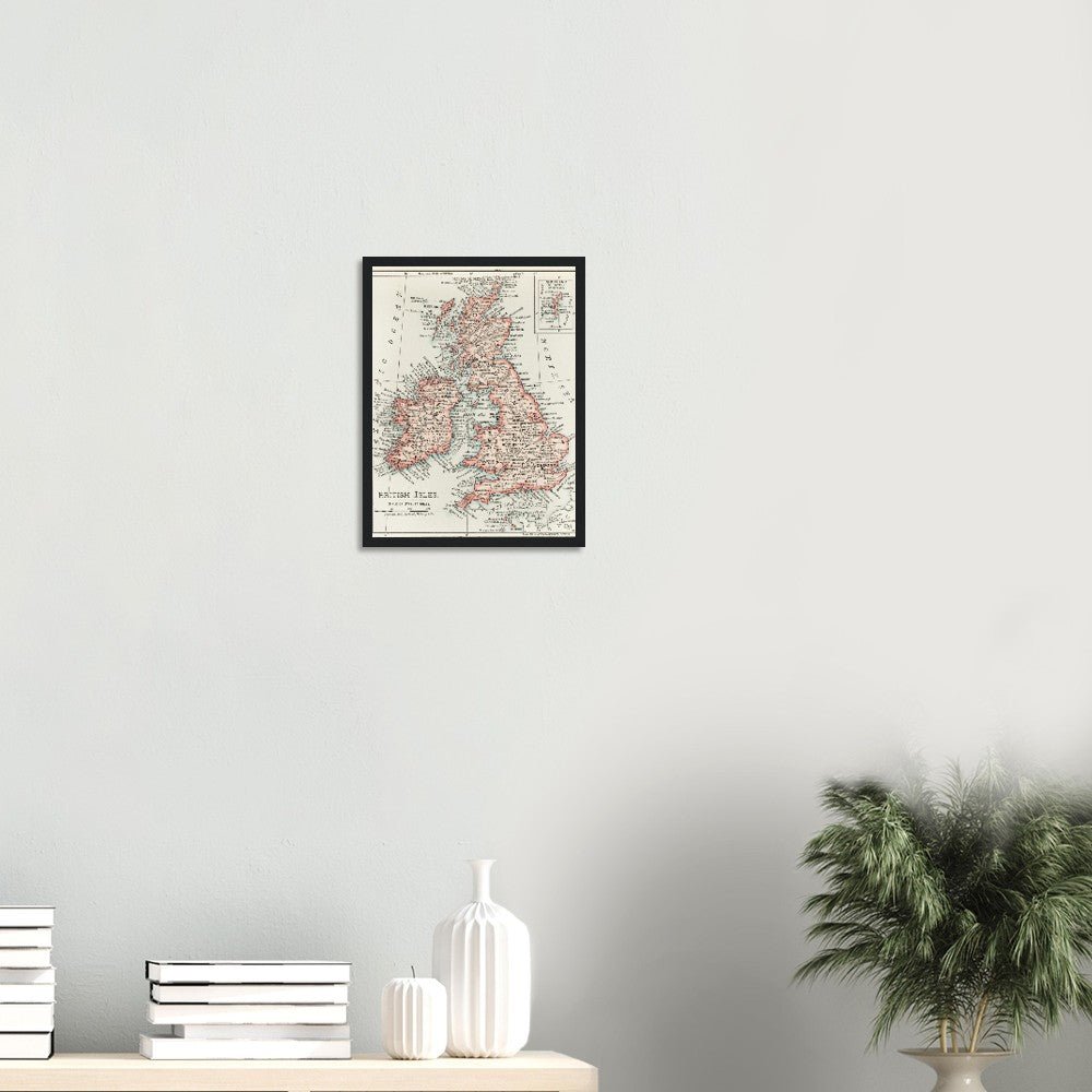
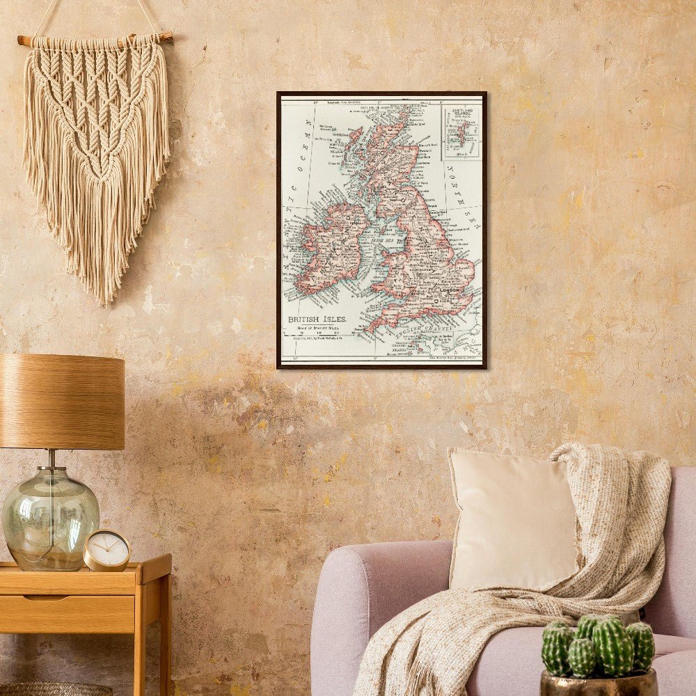
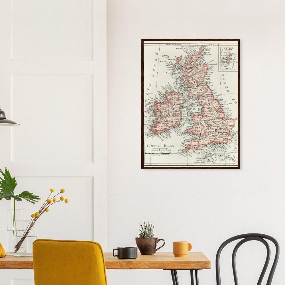
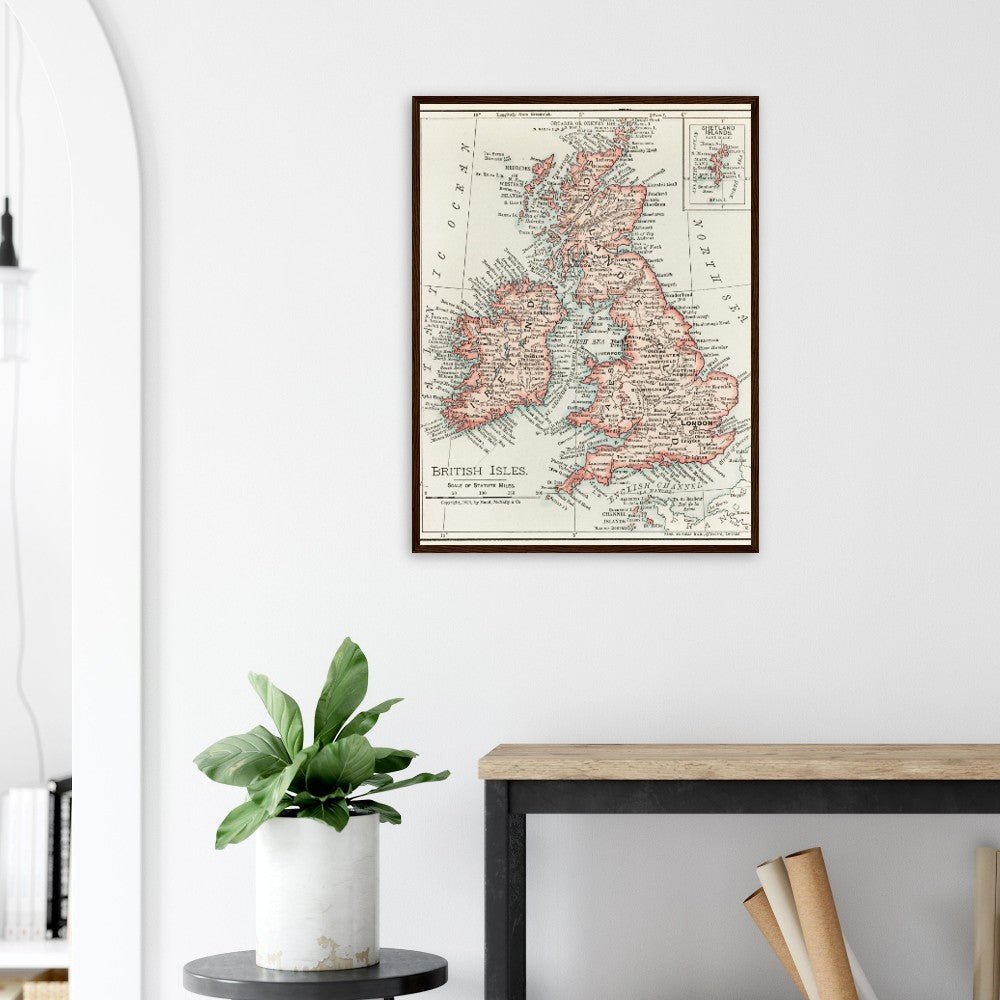
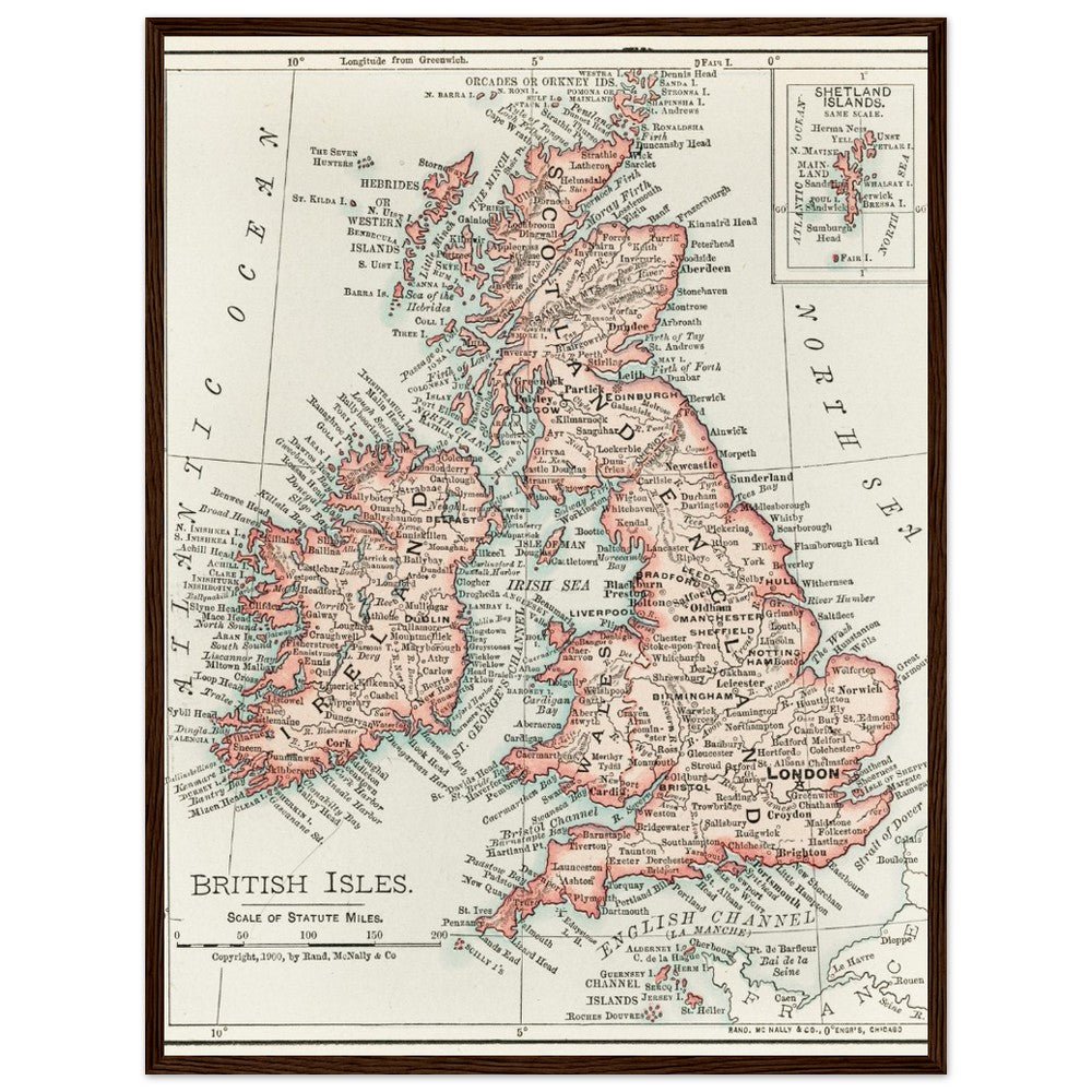
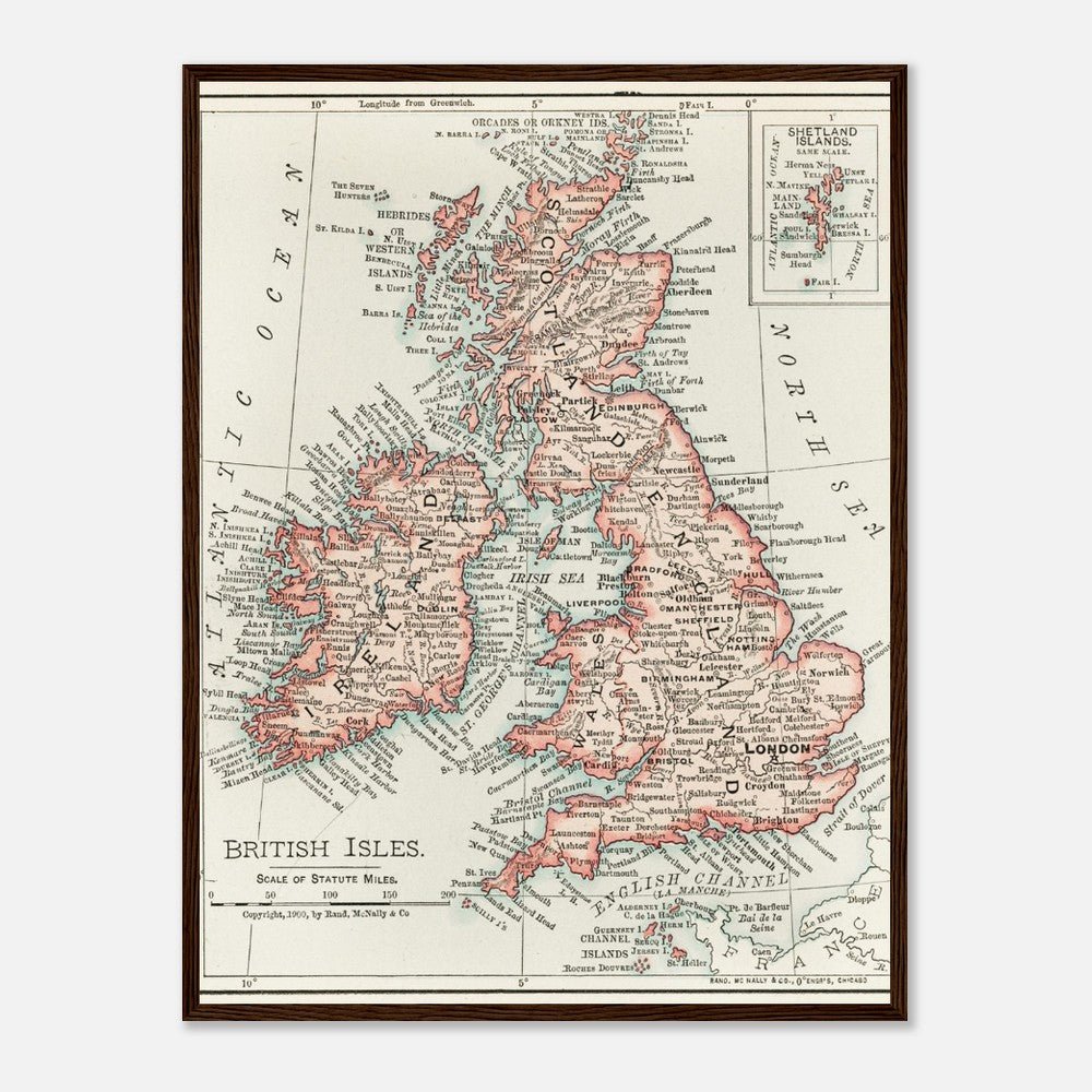
Cartographic Map of the British Isles
Cartographic Map of the British Isles
- Free Shipping on orders $30 and up
- Shipping time 5-7 days
- FSC Certified Paper and Frame
- Your order donates to environmental innovations
Couldn't load pickup availability
Art Description
Art Description
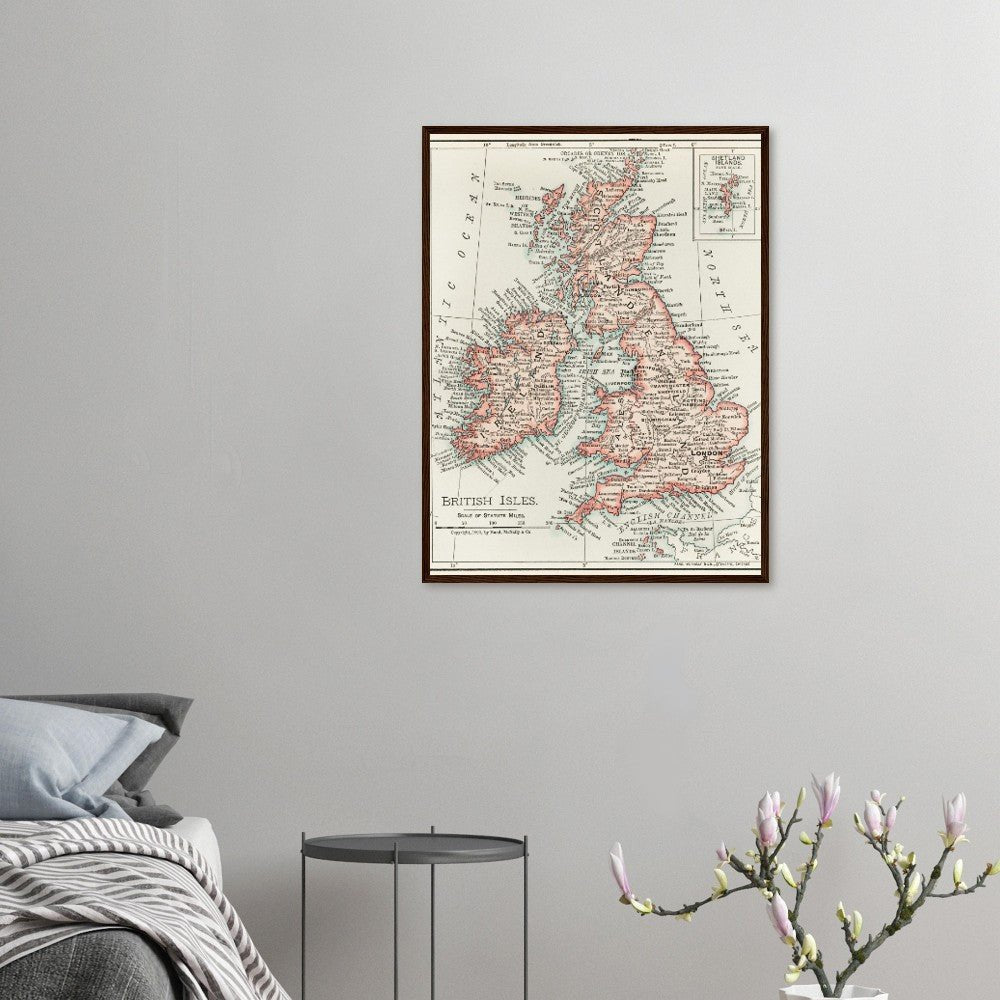
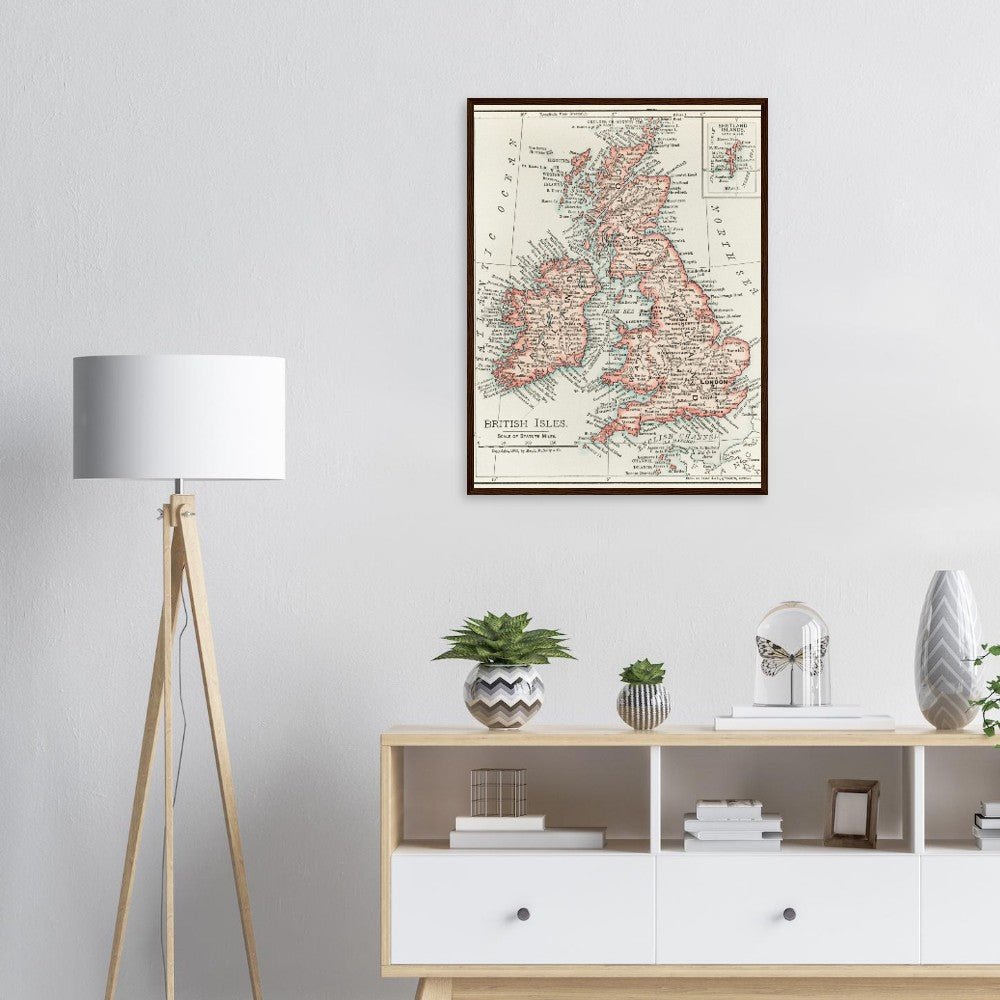
The "Universal Atlas of the World", published around 1900, frequently featured a variety of detailed maps, including those of the British Isles. These maps were part of a larger trend in the late 19th and early 20th centuries to produce comprehensive atlases that offered detailed, accurate, and up-to-date cartographic information to the public and professionals alike.
While not part of an art movement per se, the style of these maps can be associated with the Victorian era's focus on detail, precision, and order. The late 19th-century cartography reflected a broader societal emphasis on expanding knowledge, exploration, and the categorization of the natural and human-made world.
Maps from the "Universal Atlas of the World" represent a fusion of scientific knowledge and technical skill, embodying the era's drive towards greater understanding and management of the world’s geographical diversity.
Our wooden framed posters are the perfect combination of sleek and sturdy. Experience art that feels silky to the touch with our high-quality, lighter-weight, classic semi-glossy paper. While the poster and frame are packed separately in one box, final assembly is required by the end recipient. Don’t worry; it's a snap to put them together - no expertise is required, and the hanging hardware is included. Features: The frames are made from pine and come in 4 colors: black, white, natural wood, and dark brown wood. They are 20-25mm /0.79"-0.98" thick and 10-14mm/ 0.4"-0.6" wide, providing the perfect balance of durability and style. Our framed posters have shatterproof, transparent plexiglass to keep them safe and secure. We include hanging hardware with every order, making it easy to hang the frame in both horizontal and vertical orientations. It has a paper weight of 170 gsm / 65 lb, making it perfect for creating long-lasting prints that are preserved in pristine condition for years to come. We use FSC-certified paper and frame or equivalent certifications depending on regional availability. It’s better for the people and the planet. Each poster and frame is shipped in robust packaging, ensuring it arrives in pristine condition.
Share

